Road & Gravel Routes
Even though we may lose friends by admitting this, many of the club members ride on pavement and gravel. Here are some of our favorite routes.
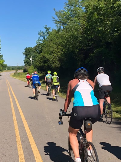
Photo: Michael Roys Adventure Photography
2019 Short Saturday Morning Pedal

Distance: 10 miles
Climbing: 323 Feet
Surface: City roads and urban paved trail
Safety: Roads are quiet. Some have bike lanes. 1 mile of paved trail with no motor vehicles.
Spring Lake Barber Ridge Gravel Loop

Distance: 23 miles
Climbing: 1452 feet
Surface: Mostly gravel. There is a little pavement at the beginning.
Safety: There is no support and few houses on the route. No water or bathrooms at Spring Lake in the off-season.
Long Saturday Morning Pedal

Distance: 20 miles
Climbing: 466 Feet
Surface: Rural pavement, highways, and city roads
Safety: The highways have high traffic during peak driving hours. Use caution at mile 14 on the narrow bridge with no shoulder.
Lake Atkins Loop
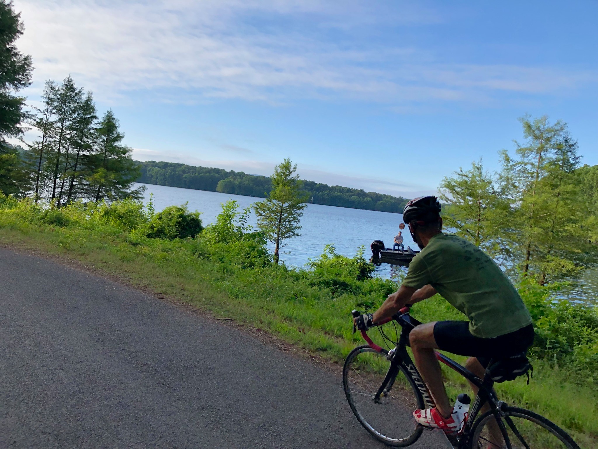
Distance: 38 miles
Climbing: 991 Feet
Surface: Rural pavement, highways, and city roads
Safety: The highways have high traffic during peak driving hours.
Old Hickory Loop
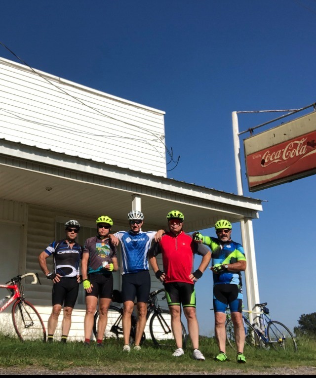
Distance: 52 miles
Climbing: 1,636.8
Surface: Rural pavement, highways, and city roads
Safety: The highways have high traffic during peak driving hours. Use extra caution while riding on Hwy 64, uneven shoulder and high vehicle speeds.
Harkey Valley Gravel Lollipop

Distance: 56 miles
Climbing: 3,478 Feet
Surface: Forest roads, county roads and rural pavement.
Safety: Road conditions depend on weather conditions. There are concrete fords that are passable a reasonable amount of time after a rain. There are a few blind corners on some of the faster downhill sections.
Mt. Magazine from Havana
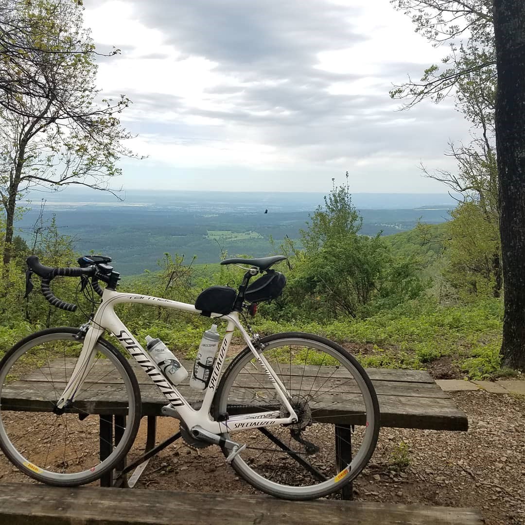
Distance: 24 miles
Climbing: 2790 Feet
Surface: Rural pavement, highways, and city roads
Safety: The highways have low traffic at most times. Use caution on the downhill until you get a feel for the road and the corners.
Mt. Magazine Gravel Circumnavigation
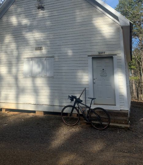
Distance: 56 miles
Climbing: 3,478 Feet
Surface: Forest roads, county roads and rural pavement.
Safety: Road conditions depend on weather conditions. There are concrete fords that are passable a reasonable amount of time after a rain. There are a few blind corners on some of the faster downhill sections.
Onyx - Hollis Gravel Loop

Distance: 42 miles
Climbing: 1651 Feet
Surface: Forest roads, county roads and state highways.
Safety: Road conditions depend on weather conditions. There are concrete fords that are passable a reasonable amount of time after a rain. There are a few blind corners on some of the faster downhill sections.
Illinois Bayou & Dover Grand Loop

Distance: 35 miles
Climbing: 2,077 Feet
Surface: Rural pavement, highways, and city roads
Safety: The highways have high traffic during peak driving hours.
Russellville Town and Country Route
Distance: 37 miles
Climbing: 1,417 Feet
Surface: Rural pavement, highways, and city roads
Safety: The highways have high traffic during peak driving hours. Use caution on the small section of Hwy 7 around mile marker 25 when shoulder is replaced by curve. Also use caution on Hwy 64 around mile marker 30 crossing the bridge with no shoulder.
